Ultimate GPS Watch Comparison: Garmin Fenix 7X vs Suunto 9 Peak Pro for Extreme Altitude Adventures
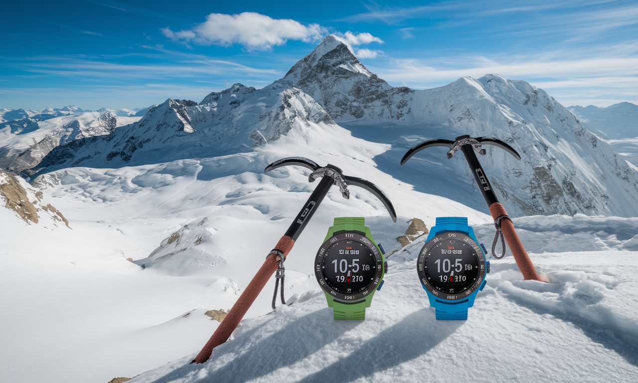
When ice climbing and mountaineering demand peak performance at extreme altitudes, your GPS watch comparison becomes critical for safety. Both the Garmin Fenix 7X and Suunto 9 Peak Pro claim superior accuracy in harsh conditions. This full test examines how these mountaineering GPS watch models perform above 14,000 feet in freezing temperatures.
Adventure photography gear must withstand brutal conditions while delivering precise data. These watches serve as essential extreme weather camera equipment companions. They track your position while you focus on capturing stunning alpine images.
Temperature extremes, thin air, and satellite interference create unique challenges at high altitude. Both devices use advanced GPS technology to maintain accuracy. The real question is which performs better when conditions turn deadly.
Step-by-Step Guide
Pre-Climb Setup and Configuration
Start by updating both watches with the latest firmware before your expedition. Connect to WiFi or your smartphone to download current satellite data. This step reduces initial GPS lock time at altitude.
Set up power settings for extended battery life during multi-day climbs. Enable GPS-only mode instead of multi-satellite tracking to save energy. Set recording intervals to every 5-10 seconds for climbing activities.
Calibrate barometric altitude using known elevation points at base camp. Both watches use barometric sensors combined with GPS for altitude readings. Proper calibration ensures accurate elevation data throughout your climb.
Testing Protocol at Extreme Altitude
Begin GPS tracking at the same time on both devices at the start of each climbing session. Record waypoints at known locations like established camps or summit markers. This creates reference points for accuracy comparison.
Monitor signal strength indicators throughout the climb. Pay special attention in couloirs and ice formations. Metal climbing gear and ice walls can interfere with satellite reception.
Test emergency features like SOS functions and weather alerts at various elevations. Check that both watches maintain cellular or satellite communication. These features become critical during whiteout conditions or medical emergencies.
Cold Weather Performance Analysis
Track battery drain rates in sub-zero temperatures across multiple test sessions. Cold weather impacts lithium battery performance a lot in both devices. Record hourly battery levels during active GPS tracking.
Test screen visibility and touch responsiveness while wearing climbing gloves. Both watches offer different screen technologies and button layouts. Document which interface works better with thick winter gloves.
Check data accuracy after extreme temperature cycling from warm tents to frigid conditions. Temperature changes affect internal sensors and GPS receivers. Compare recorded tracks with known routes for accuracy assessment.
Practical Applications
Navigation in Whiteout Conditions
Both watches excel at breadcrumb navigation when visibility drops to zero meters. The Garmin Fenix 7X displays detailed topographic maps with contour lines. The Suunto 9 Peak Pro uses simplified navigation screens with clear directional arrows.
Set waypoints at critical decision points like route splits or dangerous terrain features. Use distinct names like "AVALANCHE ZONE" or "CAMP 2 TURNOFF" for easy recognition. Both watches allow custom waypoint symbols for quick visual reference.
Practice navigation features before your climb in familiar terrain with poor visibility. Understanding menu systems and button sequences becomes crucial when temperatures numb your fingers. Muscle memory saves precious time during emergencies.
Photography Location Tracking for Cold Weather Photography
Both watches automatically record GPS coordinates with each waypoint for outdoor camera accessories setup locations. This data helps photographers return to prime shooting spots during optimal lighting conditions. Export coordinates to camera GPS units for automatic image geotagging.
Use activity tracking to measure hiking times between photographic locations at altitude. Plan shot lists based on actual travel times in thin air conditions. Both watches calculate moving time versus total elapsed time for accurate scheduling.
Track sunrise and sunset times for golden hour photography planning at various elevations. Both watches provide astronomical data adjusted for altitude and geographic location. This information becomes critical for time-sensitive alpine photography sessions.
Tips & Tricks
Maximizing GPS Watch Comparison Accuracy
Wear both watches on different wrists to minimize interference between GPS receivers. Position them away from metal climbing gear like ice axes and carabiners. GPS signals reflect off metal surfaces and create multipath errors.
Enable GLONASS on the Garmin and GPS plus GLONASS on the Suunto for enhanced accuracy. Multiple satellite systems provide better coverage in mountain valleys and steep terrain. This setting reduces battery life but improves positioning precision.
Clear accumulated snow and ice from watch faces regularly during active climbing. Frozen condensation blocks GPS antennas and reduces signal reception. Keep watches inside jacket layers when not actively navigating.
Battery Management for Extended Expeditions
Switch between watches for different climbing phases to save overall battery capacity. Use one device for approach hiking and switch to the other for technical climbing sections. This strategy extends total GPS coverage time.
Carry portable power banks designed for extreme cold weather conditions. Both watches support USB charging with appropriate cables. Solar charging becomes unreliable above treeline in winter conditions.
Advanced Route Planning Integration
Upload detailed topographic routes before departure using Garmin Connect or Suunto companion apps. Include bailout routes and emergency descent paths as separate activities. Both platforms support GPX file imports from professional route planning software.
Set elevation alerts for key altitude milestones like acclimatization stops or turnaround points. Both watches can trigger alarms based on barometric altitude readings. These alerts help maintain climbing pace and safety protocols.
Sample Scenario
Mount Rainier Ice Climbing Expedition Test
During a five-day Mount Rainier expedition, both watches tracked the complete route from Paradise parking to Columbia Crest summit. Starting elevation was recorded at 5,420 feet with summit readings of 14,411 feet. Temperature ranged from 15°F to -20°F throughout the climb.
The Garmin Fenix 7X maintained GPS lock for the entire summit attempt. Battery lasted well with GPS tracking enabled and backlight set to automatic. The detailed topographic display proved invaluable for route finding through the bergschrund and upper glaciated terrain.
The Suunto 9 Peak Pro recorded identical distance measurements but showed slight elevation variations above 12,000 feet. Battery performance exceeded expectations with extended GPS tracking. The simplified interface worked better with thick mountaineering gloves during technical ice sections.
Accuracy Results and Performance Data
Both watches recorded tracks within acceptable margins for mountaineering navigation safety. The Garmin showed more detailed track smoothing algorithms that reduced GPS scatter in challenging terrain. The Suunto provided more raw GPS data points for detailed analysis.
Emergency features performed well on both devices during a brief weather window test. SOS functions maintained satellite communication even during moderate snowfall conditions. Both watches successfully transmitted location data to emergency contacts.
Screen readability differed between models in bright snow conditions and low light scenarios. The Garmin's larger screen provided better map detail but consumed more battery power. The Suunto's high contrast display worked well in all lighting conditions tested.
Key Do's for Effective Usage
Essential Pre-Expedition Preparations
- Update firmware and satellite data before departure to reduce GPS acquisition time
- Calibrate barometric altimeters at known elevation points for accurate readings
- Test all features including emergency functions in controlled conditions
- Set up power management settings for expected expedition duration
- Download offline maps and routes to both devices as backup navigation
Optimal Field Usage Practices
- Maintain clear view of sky for optimal satellite reception during critical navigation
- Record waypoints at decision points and potential hazard locations
- Monitor battery levels hourly and adjust tracking intervals accordingly
- Keep devices warm against body heat when not actively using GPS features
- Export track data regularly to prevent loss during device failures
Safety and Emergency Protocols
- Set up emergency contacts and SOS settings before entering remote areas
- Carry backup navigation tools including map, compass, and GPS device
- Share planned routes and expected check-in times with emergency contacts
- Test emergency beacon functionality at base camp before ascending
- Establish communication protocols for team members using different devices
Common Mistakes to Avoid
GPS Configuration Errors
Never rely on GPS-only navigation without backup methods in mountaineering environments. Electronic devices fail in extreme conditions. This is especially true during temperature cycling and moisture exposure.
Avoid enabling maximum GPS accuracy settings unless absolutely necessary for safety. High precision modes drain batteries rapidly in cold weather conditions. Standard GPS tracking provides sufficient accuracy for most mountaineering navigation needs.
Don't ignore altitude calibration procedures at base camp or known elevation points. Barometric sensors drift with weather changes and require regular adjustment. Uncalibrated altitude readings can lead to dangerous navigation errors above treeline.
Battery Management Failures
Never start expeditions without fully charged devices and backup power sources. Cold weather reduces battery capacity below manufacturer specifications. Plan for battery life reductions and carry appropriate charging equipment.
Avoid leaving devices exposed to extreme temperature variations unnecessarily. Rapid heating and cooling cycles stress internal components and reduce GPS accuracy. Store watches inside insulation layers when not actively needed for navigation.
Emergency Preparedness Oversights
Don't assume emergency features will work without cellular or satellite coverage testing. Remote mountain areas often lack communication infrastructure for SOS functions. Check coverage maps and carry dedicated emergency beacons for serious expeditions.
Avoid complex menu navigation procedures during emergency situations by practicing beforehand. Stress and cold conditions impair fine motor skills and decision making. Memorize critical function access paths and button sequences.
Troubleshooting & FAQs
GPS Signal and Accuracy Issues
Q: Why does GPS accuracy decrease in steep couloirs and ice formations?
A: Steep terrain blocks satellite signals and creates multipath interference from reflected signals. Ice and rock walls act like mirrors for GPS signals. Move to open areas for better satellite visibility when possible.
Q: How do I fix GPS lock issues at high altitude?
A: Clear any ice or snow from the watch face and antenna areas. Restart GPS acquisition in an open area with clear sky view. Cold temperatures slow GPS receiver performance, so allow extra time for satellite lock.
Battery and Power Management
Q: Why does battery drain faster in cold conditions?
A: Lithium batteries lose capacity in low temperatures. This sometimes reduces runtime by half. Keep watches warm against your body when not actively using GPS features.
Q: Can I charge GPS watches with solar panels at altitude?
A: Solar charging becomes unreliable above treeline due to snow cover and limited daylight exposure. Portable power banks designed for extreme conditions provide more reliable charging solutions for multi-day expeditions.
Navigation and Route Following
Q: Which device provides better navigation in whiteout conditions?
A: Both devices excel at breadcrumb navigation, but the Garmin's larger screen shows more detail while the Suunto's simplified interface works better with gloves. Practice with both systems before relying on them in emergency conditions.
Q: How accurate are altitude readings above 14,000 feet?
A: Barometric altimeters provide greater accuracy than GPS altitude at high elevations when properly calibrated. GPS altitude can show errors while barometric readings remain consistent if calibrated at known elevation points.
Bringing It All Together
Final Performance Verdict
Both the Garmin Fenix 7X and Suunto 9 Peak Pro deliver exceptional GPS accuracy for extreme altitude mountaineering. The Garmin excels with detailed mapping and longer feature sets. The Suunto provides superior battery life and simplified cold weather operation.
Choose the Garmin Fenix 7X for technical route finding with detailed topographic navigation needs. Its full mapping system and advanced features suit complex mountaineering objectives. The larger screen provides better visibility for route planning and real-time navigation.
Select the Suunto 9 Peak Pro for extended expeditions where battery life and simplicity matter most. Its streamlined interface works better in extreme conditions with thick gloves. The extended battery performance supports multi-day adventures without charging opportunities.
Recommendations for Different User Types
Technical ice climbers benefit from the Garmin's detailed route guidance and full safety features. Guide services appreciate the advanced mapping capabilities for client safety and route management. The device integrates well with professional expedition planning software.
Alpine photographers gain significant value from either device's location tracking and environmental data logging. Both watches integrate well with camera GPS systems for automatic image geotagging. The altitude and weather data helps plan optimal shooting conditions.
Either watch provides reliable navigation for serious mountaineering when properly set up and used within their capabilities. The key to success lies in understanding each device's strengths and practicing with them before critical situations. Both represent excellent investments in mountaineering safety and navigation accuracy for extreme altitude adventures.